The GIS that speaks
your language.
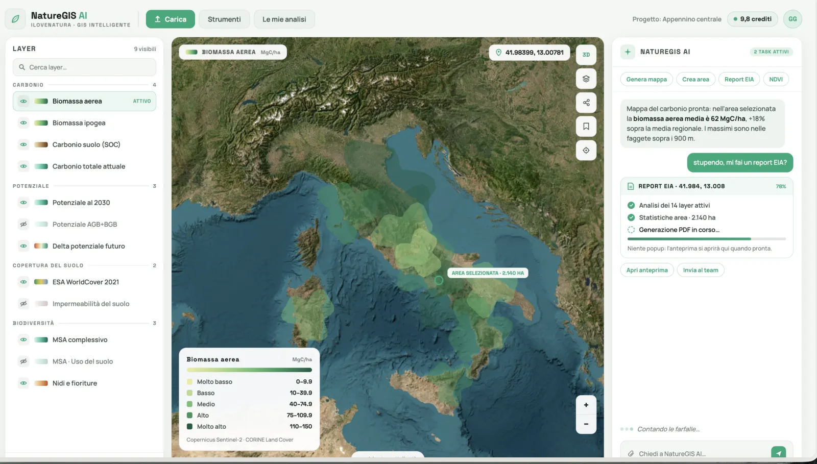
Describe the area and the question. XN IRIS generates environmental maps from satellite data, analyzes them with real numbers and delivers a ready report. In your browser, in minutes.
Free demo mode · No installation · EN IT ES FR DE
How it works
From satellite image to decision, in three steps.
Describe the area and what you need
An address, your location, a freehand drawing on the map or a KML/GeoJSON file. Plus your question, in natural language.
The AI generates the satellite maps
High-resolution environmental layers from Copernicus, Sentinel-2, Landsat and ESA WorldCover, clipped to your area. Time series too.
Get numbers, proposals and reports
Statistics inside the area and in context, critical zones, multi-year trends. Plus a formal PDF/Word report from the Report Builder.
Use cases
An environmental assistant for every profession.
The same questions you'd ask a GIS analyst. Answers in minutes, with numbers you can defend in review.
Environmental studies & EIA
Screening and EIA / environmental impact assessments with diagnostic maps, statistics and reports ready for the permitting process.
“Make an EIA report for my solar plant in Lecce”
Renewable energy
Suitability and impact for solar and wind: land use, vegetation, natural hazards and land take of the site.
“Environmental impact assessment for a wind farm”
Urban regeneration & heat islands
Spot the hottest, most sealed zones and quantify the benefits of NBS: de-paving, green roofs, planting.
“Design an NBS to reduce heat islands in Milan”
Agriculture & vineyards
Vegetative vigor, moisture and water stress plot by plot, month by month. Compare seasons and zones.
“Generate an NDVI map of the vineyards around Barolo”
Forestry & wildfire management
Fire risk, cover and vegetation status: intervention priorities and prevention from satellite data.
“Analyze wildfire risk in Pollino National Park”
ESG · BREEAM · GBC certifications
Measurable environmental evidence and compliant reports for audits, ratings and certification credits.
“Build a BREEAM report for a shopping mall”
Simulated demo
Watch a real flow: NBS against heat islands.
From request to report: the AI draws the area, generates the diagnostic maps, reads the numbers and proposes the actions.
- Analysis of the 4 diagnostic layers
- Area statistics · 200 ha
- PDF generated by the Report Builder
Simulated demo in the real interface: the numbers are the output of XN IRIS's NBS flow on South Milan.
Real videos, not mockups
See XN IRIS at work.
Real product recordings: one question in chat, the map answers.
Start from an example
If you can ask a question, you can use XN IRIS.
Tap an example to see it in the demo chat.
Full catalog
207+ environmental layers, clipped to your area.
121 maps from Copernicus, Sentinel-2, Landsat and ESA WorldCover, 61 KPIs and 25 risks. Every layer is also a time series: ask «NDVI month by month» or «June temperature over the last 10 years».
Utility 4
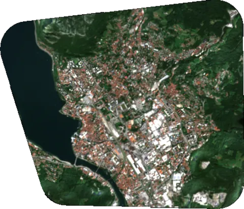
 RGB - Low resolution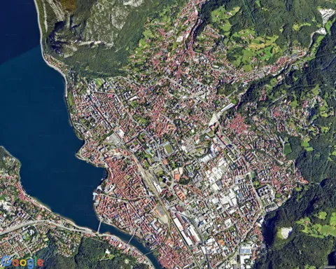
 RGB - High resolution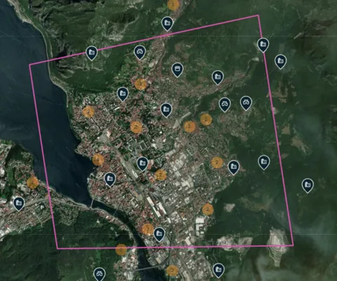
 Artistic heritage
 3Bee Oasi Ecological Features
Risks 27
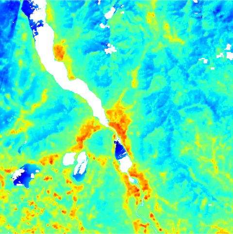
 Daytime land surface temperature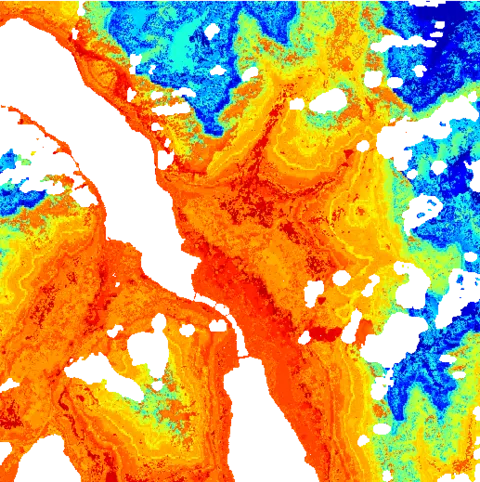
 Nighttime land surface temperature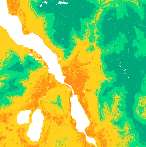
 Urban heat islands
 Light pollution
 Hydrogeological risk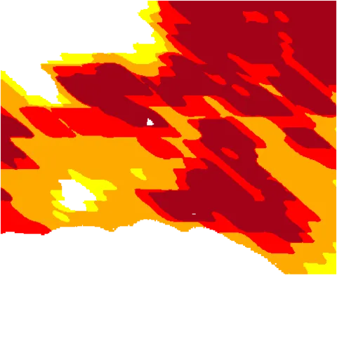
 Active fires
 Carbon monoxide
 Formaldehyde concentration
 Methane
 Nitrogen dioxide
 Ozone
Ozone
 Sulfur dioxide concentration
 UV aerosol index
 Fertilizer pollution (overall)
 Fertilizer pollution - Nitrogen
 Fertilizer pollution - Phosphorus
 Fertilizer pollution - Potassium
 Toxic metals soil pollution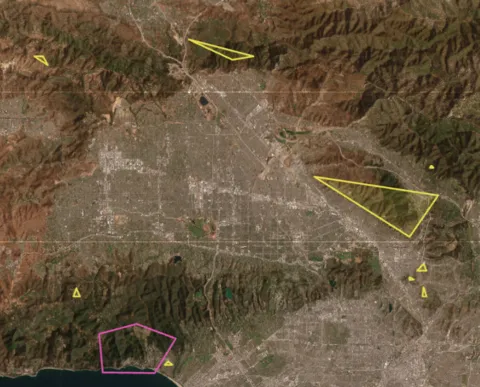
 Extreme events
 Geological map of Greece
 Geological map of Italy
 Geological map of Spain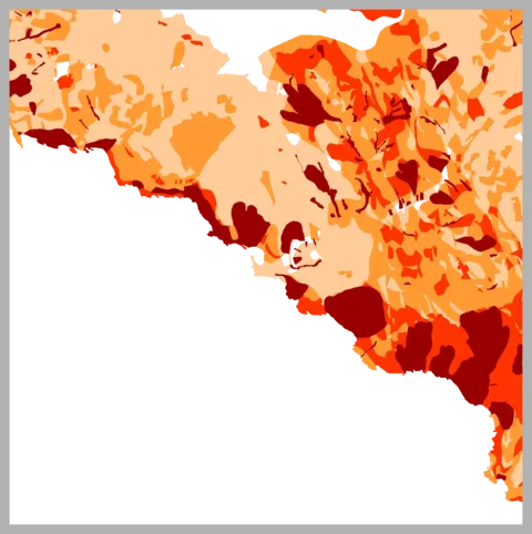
 Landslide hazard (PAI)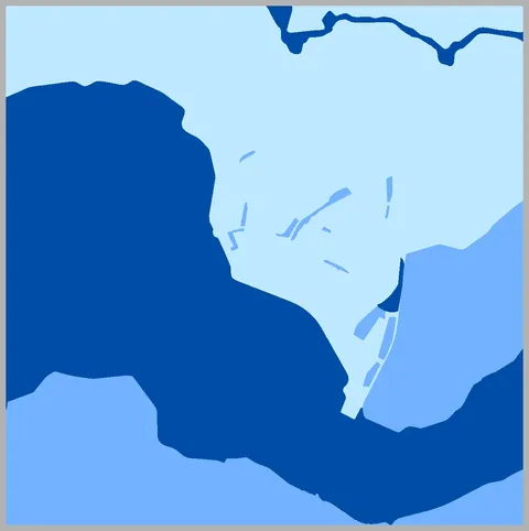
 Flood hazard
Biodiversity 37
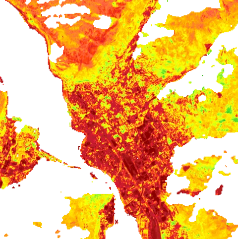
 NDVI
NDVI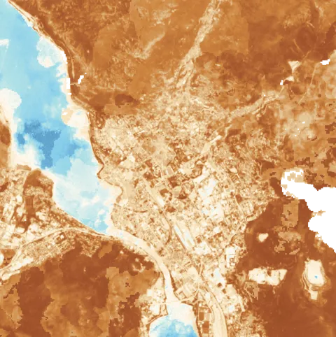
 NDWI
NDWI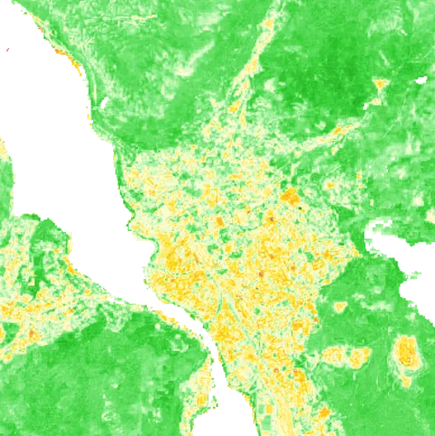
 NDMI
NDMI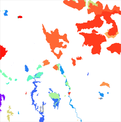
 Protected areas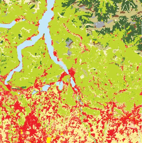
 European ecosystems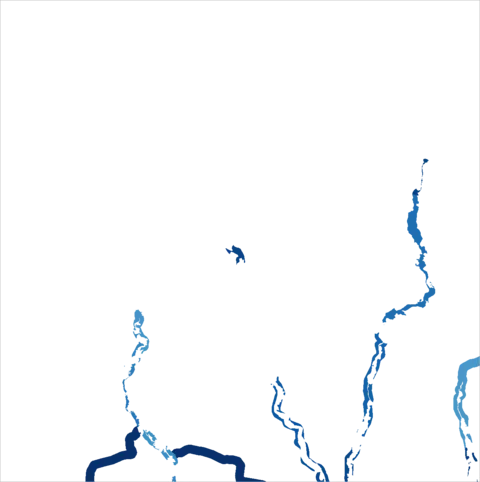
 Ecological corridors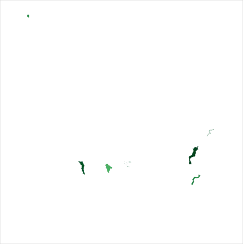
 Stepping-stone zones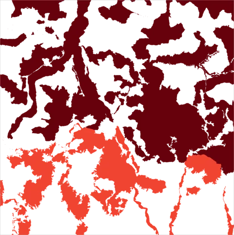
 Transition areas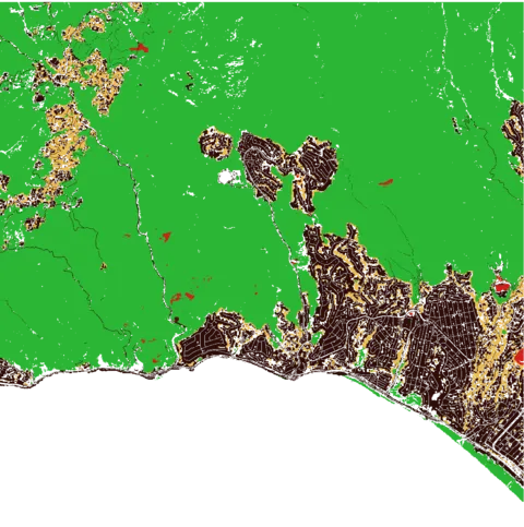
 Mean Species Abundance (MSA)
 MSA: Climate change component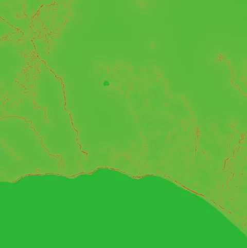
 MSA: Infrastructure component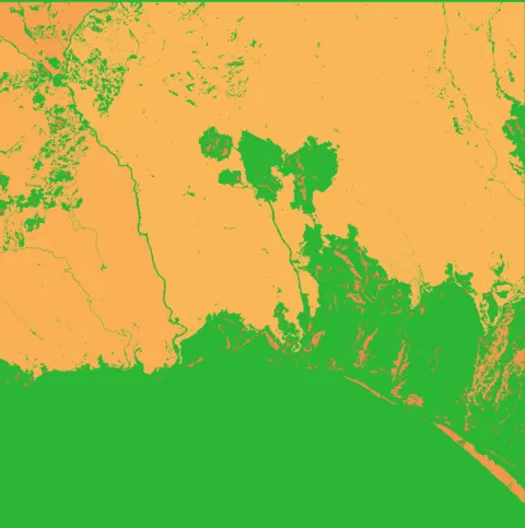
 MSA: Fragmentation component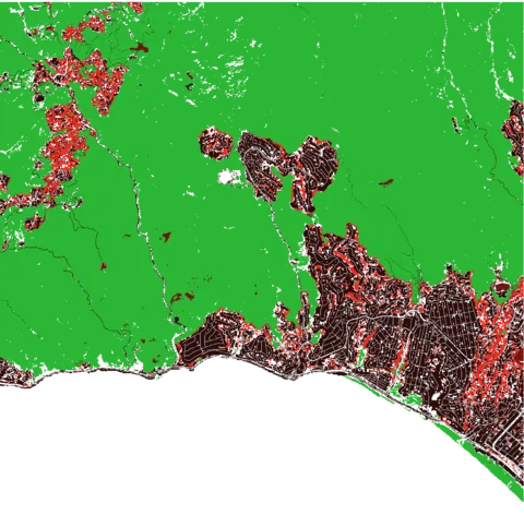
 MSA: Land use - Plants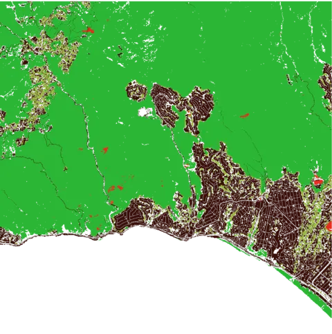
 MSA: Land use - Animals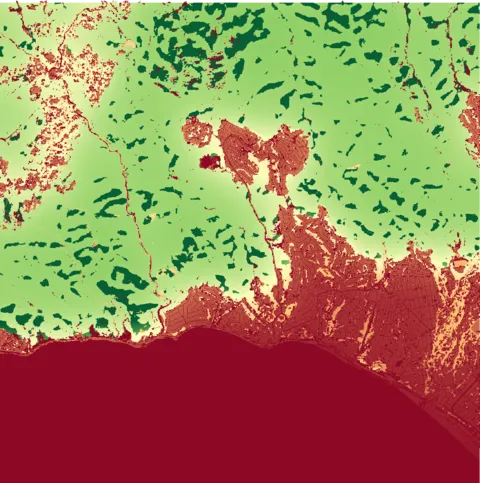
 Pollination Abundance (PA)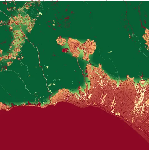
 PA: Nesting - Soil excavators
 PA: Nesting - Sand excavators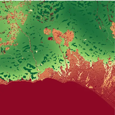
 PA: Nesting - Underground cavities
 PA: Nesting - Wetland cavities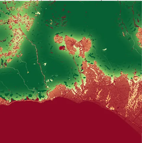
 PA: Nesting - Vegetated cavities
 PA: Nesting - Artificial
 PA: Nesting - Coastal areas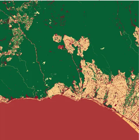
 Nesting Suitability (NS)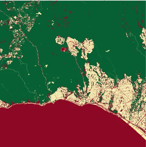
 NS: Soil excavators
 NS: Sand excavators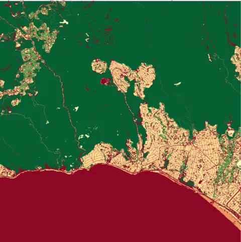
 NS: Underground cavities
 NS: Wetland cavities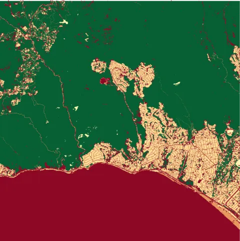
 NS: Vegetated cavities
 NS: Artificial nesting
 NS: Coastal areas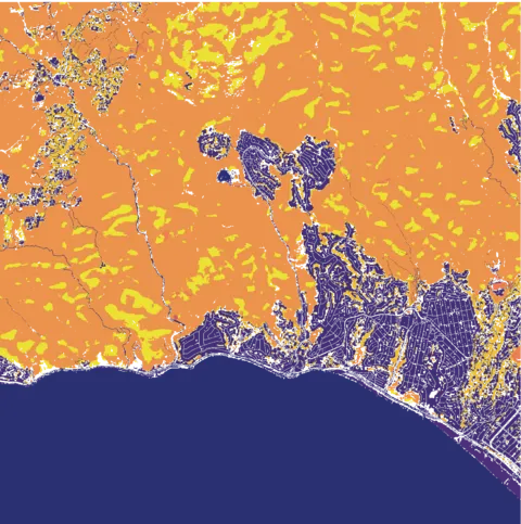
 Nectar Potential (NP)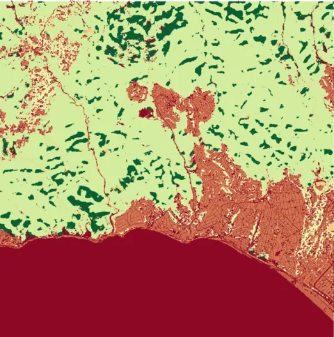
 Flowering Area (FA)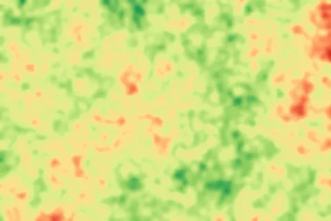
 Biodiversity intactness
 Tree cover loss
 Forest height change
 Wetlands and water bodiesForest height change (2000-2024)
Urbanization 9
 Built-up surface
 Population density
 Degree of urbanization
 Socio-economic context
 Green equity - Distance to green areas
 Green equity - Distance to small gardens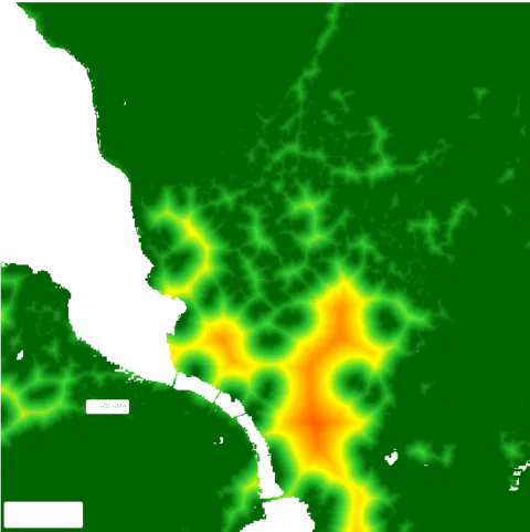
 Green equity - Distance to parks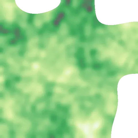
 Impervious surfaces (2015)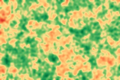
 Accessibility to cities
Microclimate 2
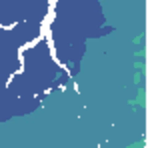
 Aridity
 Evapotranspiration
Land use 27
 Carbon stock
 Current AGB carbon stock
 Current BGB carbon stock
 Current total biomass carbon
 Current SOC carbon stock
 Current total carbon stock
 Unrealized AGB carbon potential
 Unrealized BGB carbon potential
 Unrealized biomass carbon potential
 Unrealized SOC carbon potential
 Unrealized total carbon potential
 Future unrealized carbon potential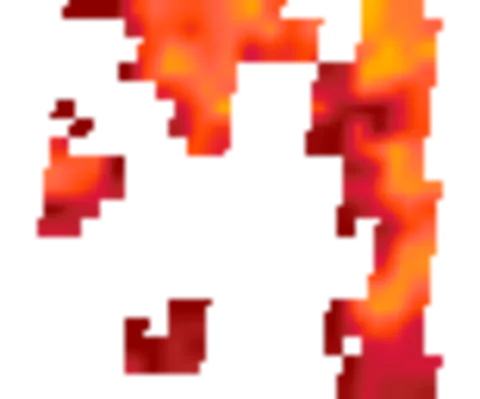
 Future carbon potential change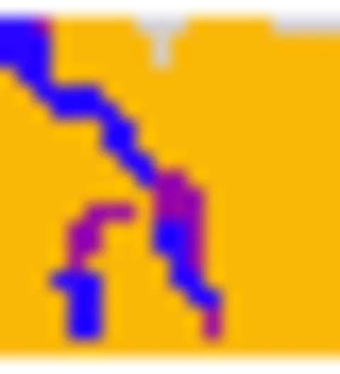
 Harmonized World Soil Database
 Land cover classification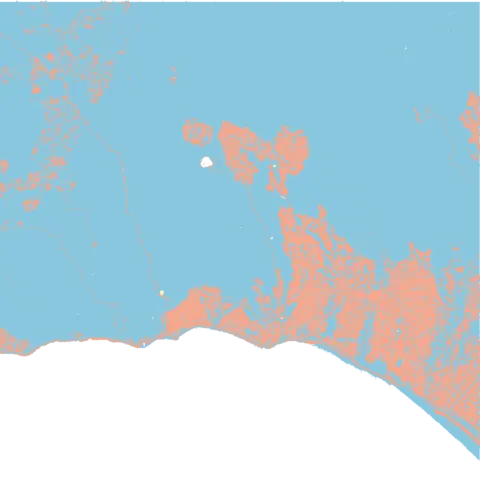
 Soil imperviousness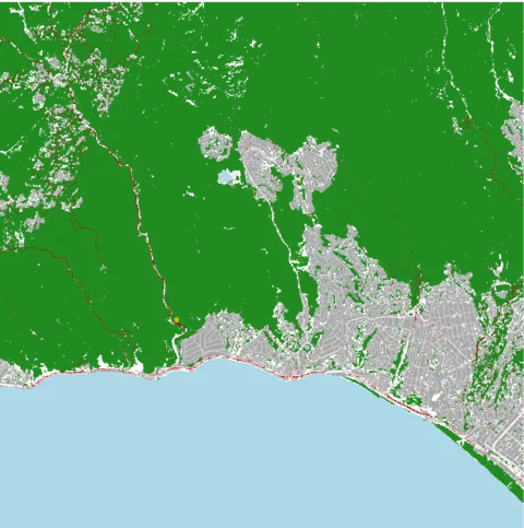
 Natural agricultural areas
 Human footprint
 Soil erosion (2020)
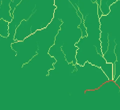
 Erosion risk
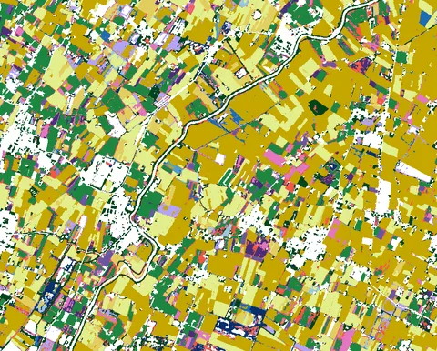
 Agricultural land-use systems
Sensors 2
 Spectrum device heatmap
 PollyX device heatmap
Water 8
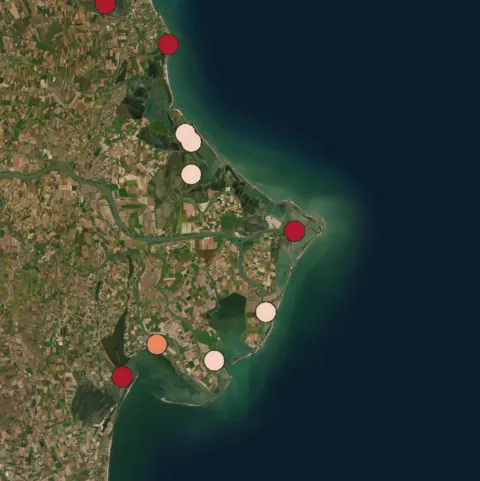
 Plastic input from rivers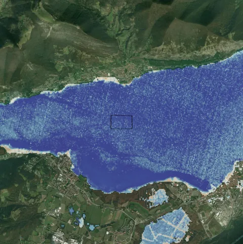
 Turbidity (NDTI)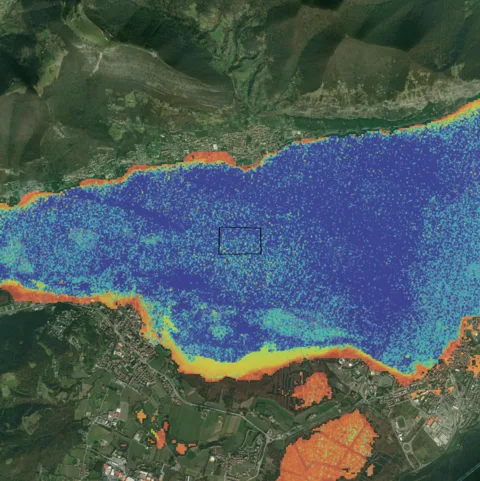
 Secchi depth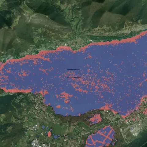
 Floating algae (FAI)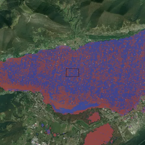
 Algal bloom intensity (MCI)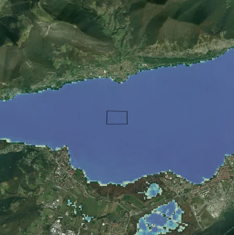
 Surface water occurrence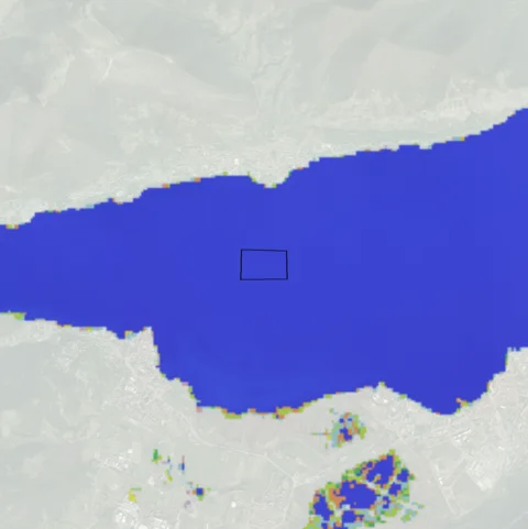
 Surface water transition
Carbon 2
 Soil organic carbon
 Net forest GHG flux
Air quality 1
 Air quality PM2.5
Socioeconomic 2
 Gridded GDP
 GDP per capita
Risks 12
 Aqueduct water risk
 PM10
PM10 PM2.5
PM2.5 Carbon dioxide
 Sulphur dioxide
 Aerosol optical depth
 Dust
Dust UV index
 UV index (clear sky)
 European air quality index
 US air quality index
 Landslides
Biodiversity 2
 IUCN Red ListProtected areas index
Microclimate 46
 Historical temperature
 Future temperature
 Precipitation
 Weather distribution
 Cloud cover
 Evapotranspiration
 Snowfall
 Apparent temperature
 Daylight duration
 Sunshine duration
 Wind gusts
 Solar radiation
 Dew point
 Relative humidity
 Atmospheric pressure
 Wet-bulb temperature
 Soil moisture
 Soil temperature
 River discharge
 Historical precipitation
 Future precipitation
 Annual wind
 Historical temperature
 Historical climate - Total precipitation
 Historical rain
 Historical wind speed
 Historical soil moisture (0-7 cm)
 Historical soil moisture (7-28 cm)
 Historical soil moisture (28-100 cm)
 Historical soil moisture (0-100 cm)
 Historical soil temperature (0-7 cm)
 Historical soil temperature (7-28 cm)
 Historical soil temperature (28-100 cm)
 Historical soil temperature (0-100 cm)
 Future temperature
 Future climate - Total precipitation
 Future rain
 Future snowfall
 Future wind speed
 Future solar radiation
 Future evapotranspiration
 Future cloud cover
 Future dew point
 Future relative humidity
 Future atmospheric pressure
 Future soil moisture
Land use 1
 Distances
Microclimate 10
 Climate change
 Wind
Wind Heat wave
 Cold wave
 Total precipitation
 Precipitation pattern change
 Fire
Fire Heat stress
 Extreme heat
 Extreme storm
Water 5
 Drought
 Desertification
 Flood
Flood Aridity
 Water stress
Pollution 1
 Air quality
Biodiversity 2
 Landslide
 Biodiversity loss
Geological 2
 Earthquake
 Volcanic eruption
Sea 5
 Rising ocean temperature
 Sea level rise
 Coastal flooding
 Coastal erosion
 Ocean acidification
From satellite image to decision, in one conversation.
Try XN IRIS in demo mode: no installation, five languages, ready reports to export to PDF and Word.
Free demo, then account-based access · Included in the iLoveNatura · xNatura platform